GIPSense
UWB RTLS Solution
GIPSense, developed in-house by GIPS Technology, offers a rapid, flexible, and highly reliable UWB RTLS solution with integrated hardware and software designs to meet various positioning needs.
Technical Independence
Both hardware and software are independently designed and developed, showcasing GIPS's complete technical autonomy.
Product Certification
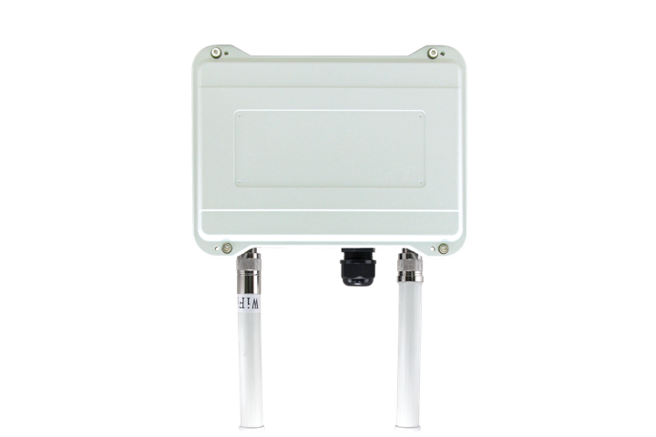
All hardware is internally manufactured and certified compliant with relevant telecommunications regulations (FCC/NCC/CE/BSMI).
Scalability
Providing a comprehensive and reliable positioning service API, allowing different customer partners to enhance their applications independently.
Diverse Application Scenarios
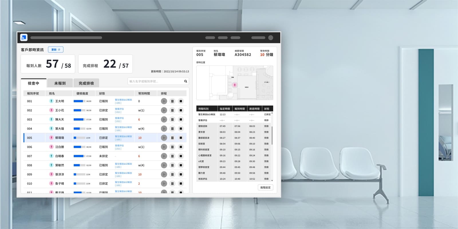
Proven applications in medical, factory, and logistics domains, earning acclaim for professional technical services.
GIPSense Architecture

GIPSense Engine
GIPSense Engine is a positioning calculation engine developed by GIPS. Its primary function is to calculate the positioning based on the hardware packet information received. It supports TDoA/ToF algorithms, multi-dimensions (0/1/2/3D), floor switching, and can horizontally expand based on field requirements.
GIPSense RTLS Service
GIPSense RTLS is a positioning application management platform that offers a visual interface and complete features for positioning applications, including electronic fencing, historical tracking, and event notifications. It also provides a rich set of APIs for third-party applications to enhance and develop.
Flexible Deployment
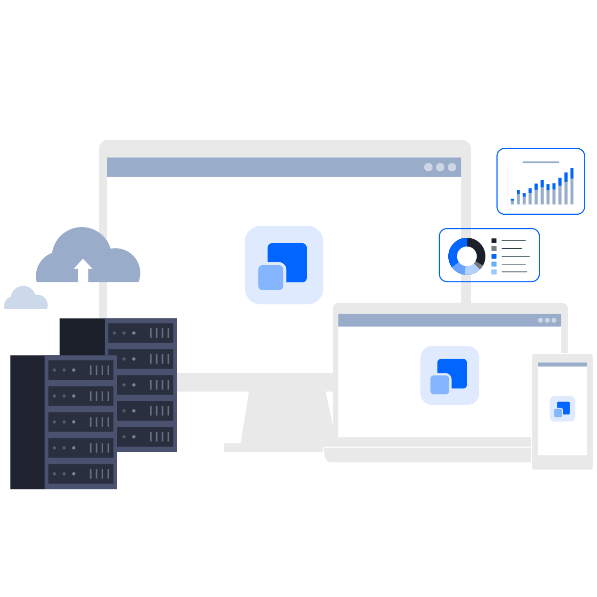
GIPSense is a web-based software that supports cross-platform compatibility (Windows/Linux), cloud or on-premises architecture, and horizontal expansion of the Engine deployment based on real field requirements.
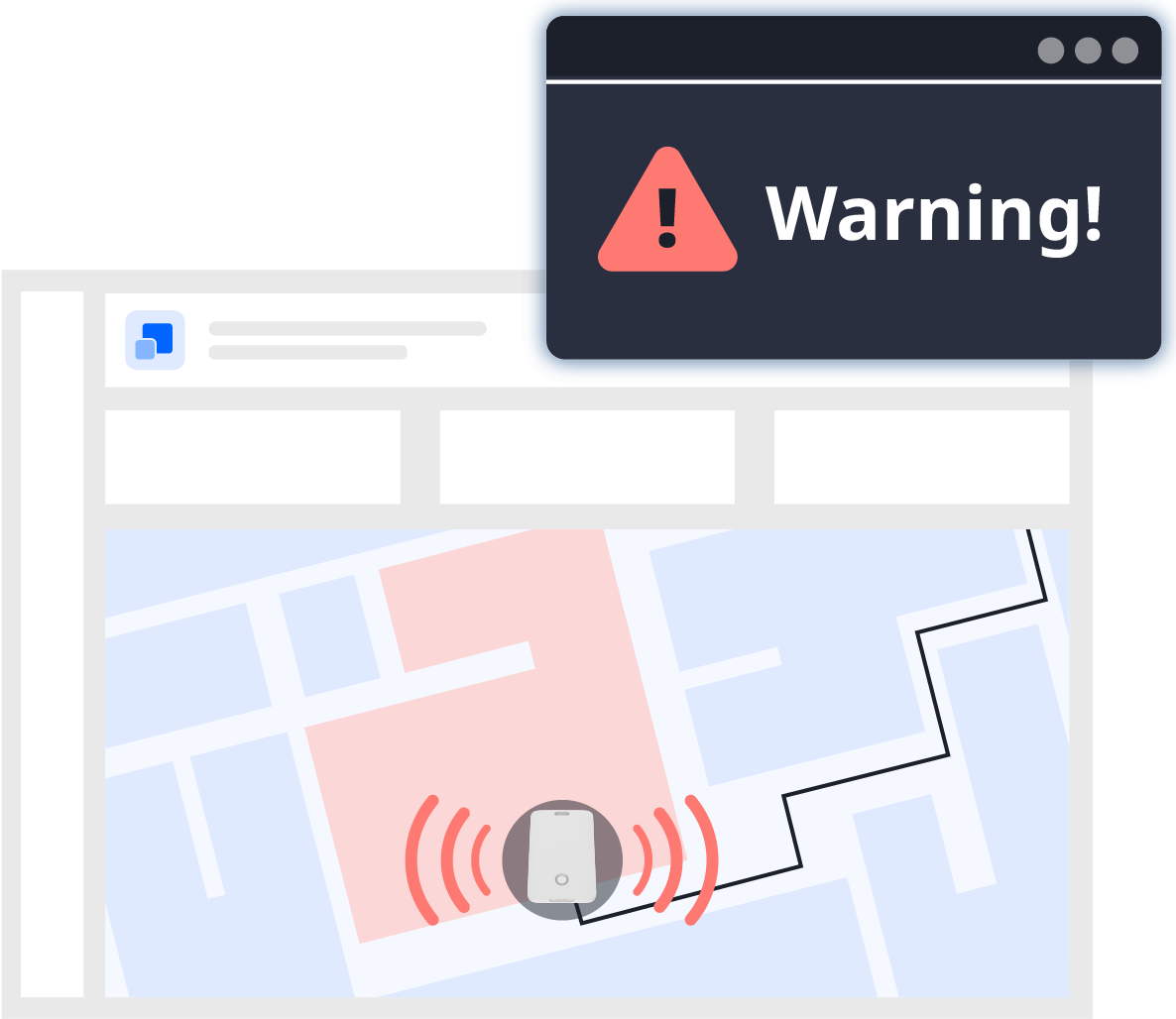
Comprehensive Positioning Features
Includes fundamental application scenario features like electronic fencing, black/white lists, historical trajectories, event alerts, tag issuance control, camera linkage, etc.
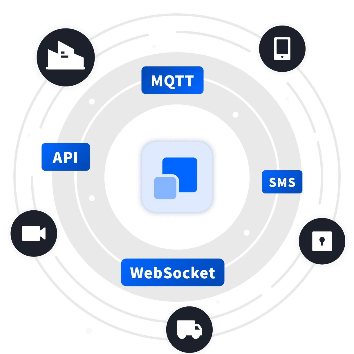
Rich Integration Interfaces
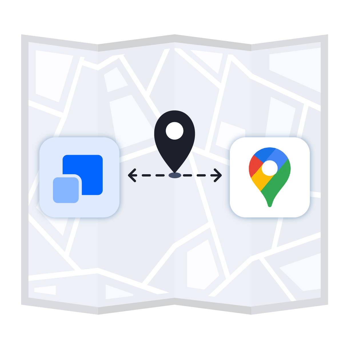
Support for Geographic Coordinate Systems
Enables support for geographic coordinate systems, extending indoor positioning beyond indoor spaces, allowing integration and analysis with Google Maps.
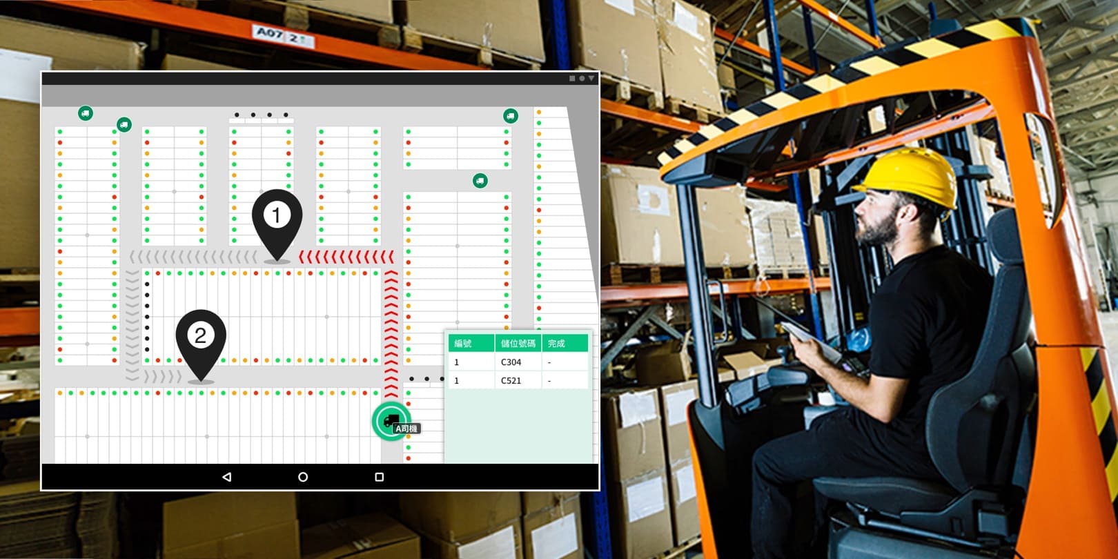
Use Cases
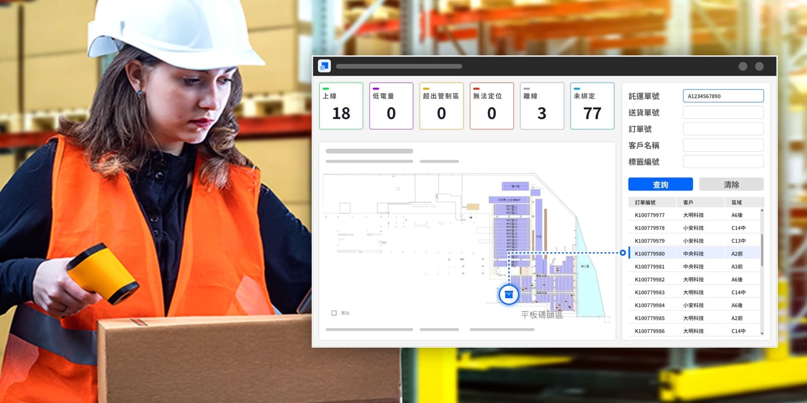
Through the flexibility and comprehensive API design of GIPSense, positioning applications can rapidly integrate and bind with ERP order data, improving on-site picking personnel efficiency by up to 90%.
Integrating UWB positioning with RFID recognition technology streamlines the inventory process, providing economically efficient management for materials in long-term fixed storage areas.